
OUR SERVICES
Land Survey & Geospatial
Accurate data, delivered with purpose.
Mapping the Future with Precision
Accurate data is the foundation of every successful project. Our Land Surveying and Geospatial professionals combine traditional surveying expertise with advanced technology to capture, analyze, and visualize the information clients need to move forward with confidence. From boundary surveys and construction staking to LiDAR scanning, drone mapping, and GIS solutions, we deliver reliable insights that support better decisions from planning through construction.
Boundary & ALTA Surveys
Hydrographic Surveys
Vertical Surveys
Construction Staking
Topographic Surveys
Utility Surveys
LIDAR (Mobile, Terrestrial, Drone)
Photogrammetry (Drone)
SLAM Scanning
Geographic Information Systems

HAVE A PROJECT IN MIND?
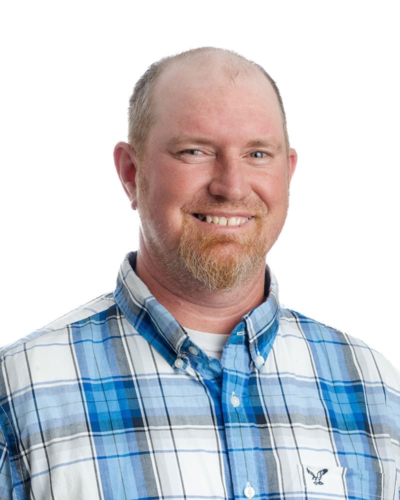
Division Leader – Land Survey
Whether you’re establishing property boundaries, gathering critical site data, or leveraging advanced geospatial technology, Derek can help you move forward with confidence.

Beyond Traditional Surveying
We leverage cutting-edge geospatial technology to collect, visualize, and manage data with greater speed, accuracy, and efficiency. From LiDAR scanning and reality capture to GIS mapping and interactive dashboards, we help clients see more, know more, and make better decisions.
- Reality Capture & LiDAR: Using Mobile LiDAR, Drone LiDAR, and handheld SLAM scanning technology, we rapidly collect detailed 3D data and point clouds that improve accuracy, reduce field time, and support planning, design, renovation, and asset management.
- GIS & Data Visualization: Our GIS professionals transform complex survey, infrastructure, and asset data into interactive maps and dashboards that help clients make informed decisions, prioritize investments, and communicate more effectively.
One team. From first look to final construction.
From early site evaluation through final construction, our in-house team – survey, geotechnical, civil, infrastructure, and field services – works together from day one. That means faster answers, fewer handoffs, and a smoother path from concept to completion.
Whether you’re developing property, improving infrastructure, expanding facilities, or maintaining critical assets, we bring the expertise, technology, and collaboration needed to support every phase of a project.
“OWN is our new survey crew for everything we need surveyed. That kind of priority service should be rewarded.”

